8
destinations
Combine up to eight cities in one route.
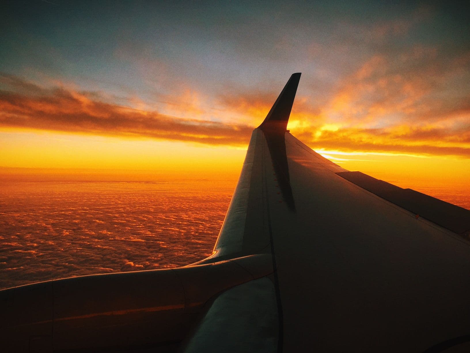
Turn every take-off and touchdown into one interactive, shareable flight map.
Your flight route
London → New York → Los Angeles → Tokyo
Distance
18,325 km
Flight time
24h 25m
Flight legs
3
See every stop, flight and total in one place.
Combine up to eight cities in one route.
Choose daylight, sunset or night.
Keep every leg together in one visual.
Add the places you flew, put them in order and generate the full route.

Start with your departure and final destination.
Add up to eight places and drag them into travel order.
Switch between daylight, sunset and night-flight themes.
Download the map or send the same route as a link.
A four-stop route via New York and Los Angeles.
London, Paris, Rome and Barcelona in one map.
Tokyo, Singapore, Bali and Sydney.
Connect a complete multi-continent adventure.
A clean map for one simple return-worthy escape.
Bring months of flights together at a glance.
Use it to visualise a multi-stop journey clearly. It does not replace airline, booking or live tracking information.
Connect chosen cities in travel order and see the complete journey on one map.
Compare each leg using geographic distance and a simple commercial-flight time estimate.
Create a clean visual for a multi-city trip, round trip, gap year or past adventure.
For live aircraft positions, delays or flight status, use an airline or dedicated live flight tracker. For tickets and booking references, use your airline itinerary.
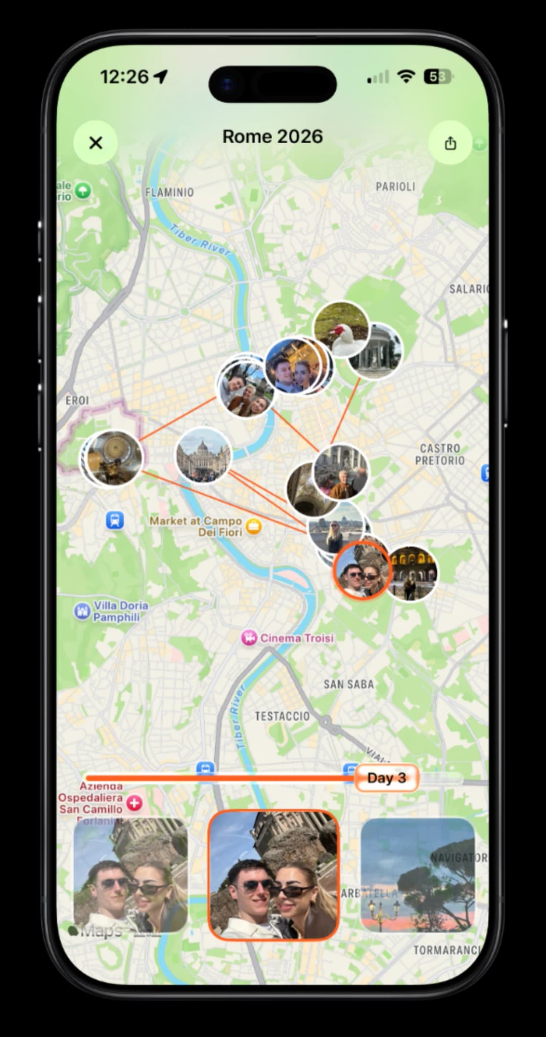
Add photos, notes and daily highlights, then revisit the story in one beautiful digital keepsake.
 Get the app

Clear geographic estimates, designed for visualising a journey rather than tracking a live aircraft.
Each leg uses the shortest great-circle arc between the coordinates of its two selected cities. This is a geographic estimate, not an airline tracking feed.
The tool calculates each leg with the haversine formula and adds the results together. Displayed kilometres are rounded for clarity.
Time is estimated from distance using a representative commercial-aircraft cruising speed, with an allowance for ascent and descent.
The searchable destination list contains major travel cities and aviation hubs with stored latitude and longitude coordinates.

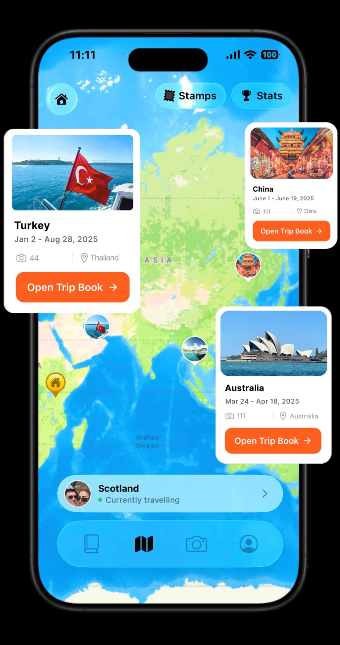
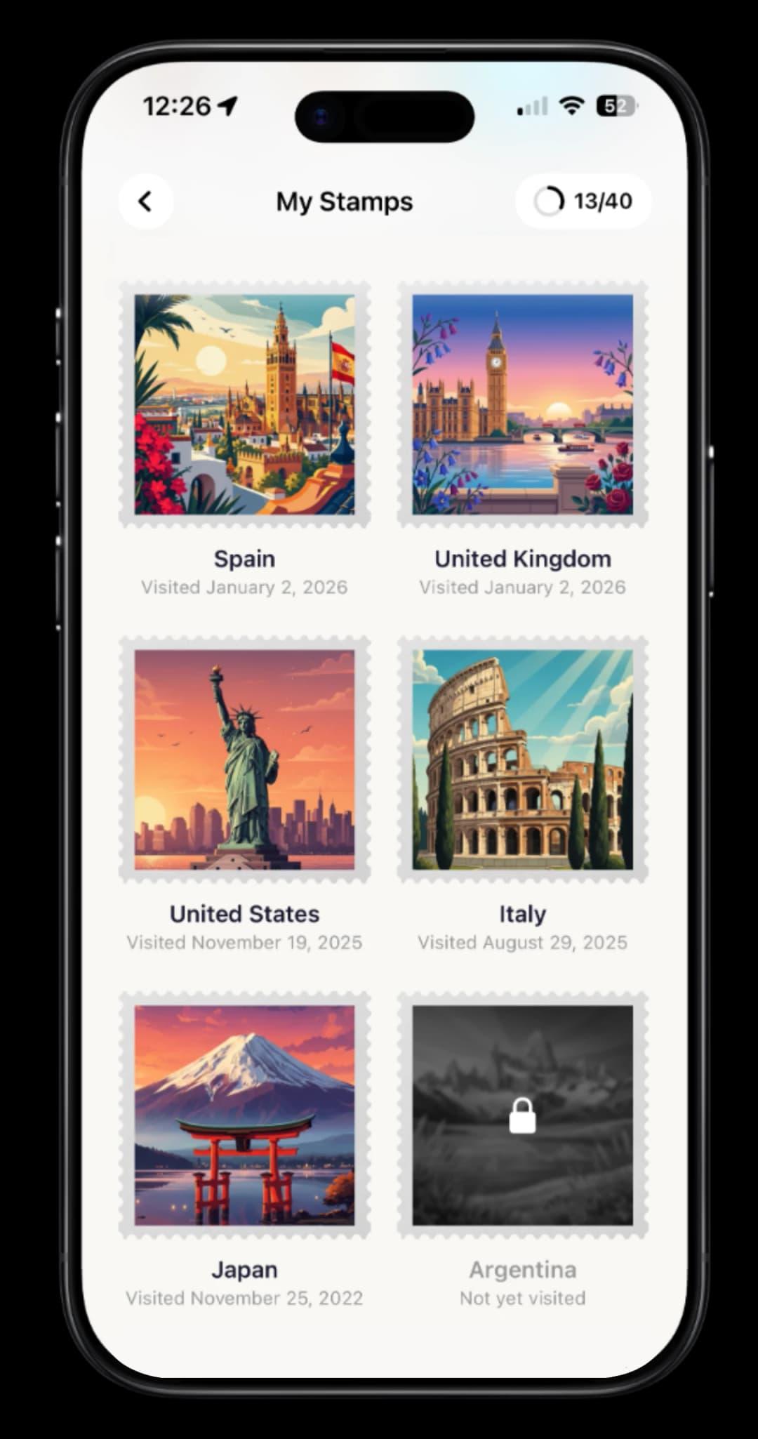
TripMemo keeps your photos, notes and daily memories together in one digital TripBook.
Get the appEverything you need to build and understand your flight map.
Choose the first and last destination, add every stop in travel order, then press Generate map. The map, distance and estimated flight time update together.
Yes. Add up to eight destinations and drag them into the right order. Every pair of consecutive destinations becomes one flight leg.
Yes. Save the finished route as an image or copy a link that opens the same collection of stops.
No. The lines follow great-circle paths between city coordinates. Real flights vary with weather, winds, airspace and air-traffic control.
The estimate combines great-circle distance with a representative cruising speed and a fixed allowance for take-off and landing.
No. This tool creates a visual route map. It does not show live aircraft positions, flight status, delays or airline schedules.
Yes. Add the return city as the final stop for a round trip, or arrange several cities to create a multi-city or round-the-world route map.
No. You can generate, restyle and share a map without signing in. The destinations you add are handled in your browser.
Calculate a flight, choose a destination or map the places you know.
TripMemo turns photos, notes and daily moments into a digital TripBook you can return to.
Get the app