How to Create a Travel Map with Photos: The Complete 2026 Guide
Turn your travel photos into an interactive map that tells your story. Step-by-step guide covering tools, organization, and best practices for creating a visual travel biography.
There's something deeply satisfying about seeing your travels on a map.
Not just colored-in countries—but actual pins showing where you stood, connected by lines showing where you went, each one linked to the photo you took in that exact moment.
This is the difference between a travel counter and a travel story.
This guide shows you exactly how to create a travel map with photos—whether you're starting fresh or want to map your entire life of adventures.
Why Create a Photo Map (Not Just a Country Counter)
Traditional scratch maps and "visited countries" apps tell you where you've been. A photo map tells you what happened there.
A country counter says: "I've been to Italy."
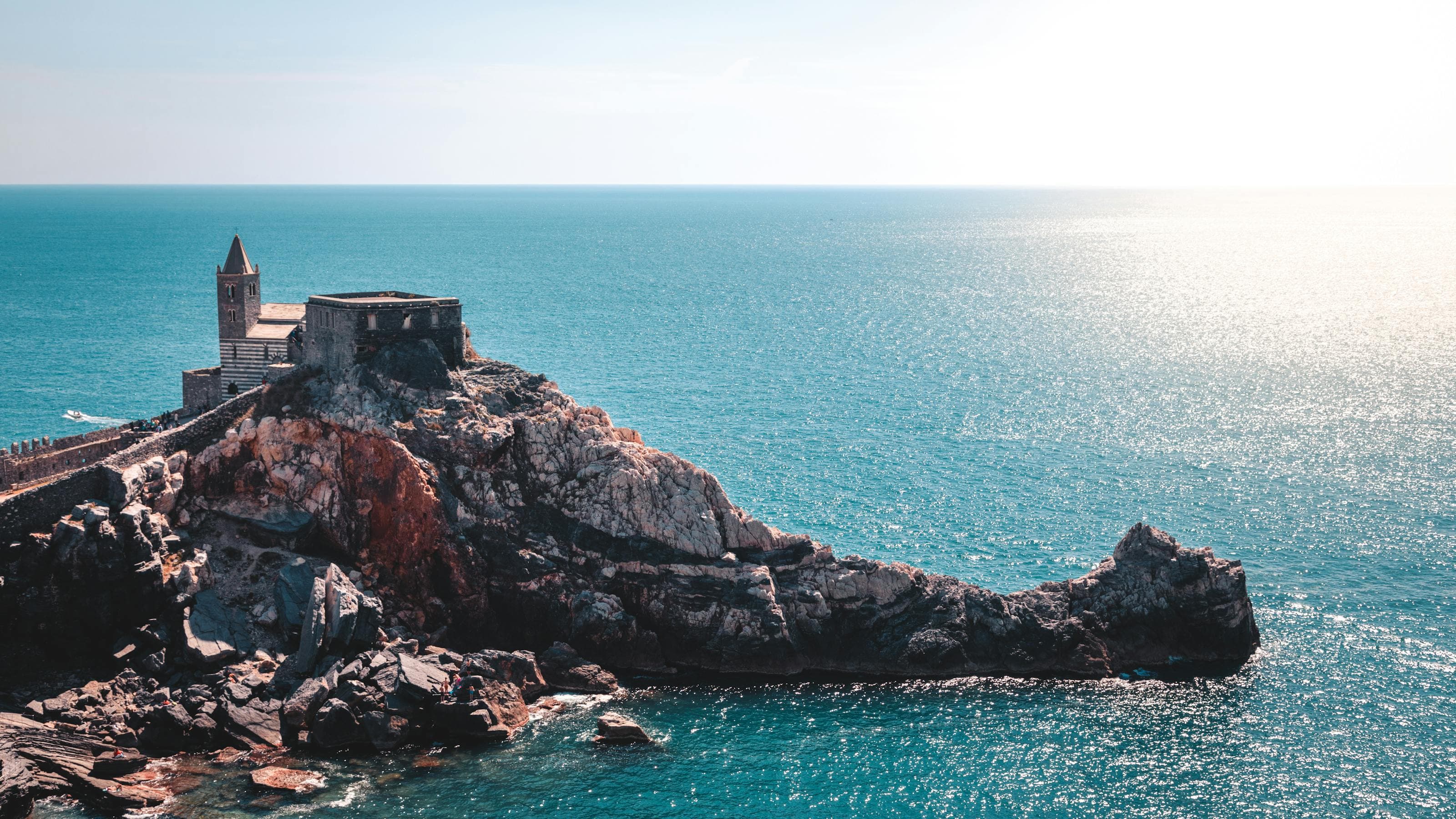
A photo map shows: The exact trattoria in Trastevere where you had the best cacio e pepe of your life. The viewpoint in Cinque Terre at sunset. The wrong turn that led to the best gelato.
What a Photo Map Gives You
- Memory triggers: Each pin is a doorway to a specific moment
- Route visualization: See the actual path you traveled, not just destinations
- Pattern recognition: Discover your travel style ("I really love coastlines")
- Story sharing: Show people your trip as a journey, not a list
- Future planning: Identify the gaps you want to fill
The Three Types of Travel Maps
Type 1: Country Counters
Apps: Visited, Mark O'Travel, Been
What they do: You tap a country, it changes color. That's it.
Best for: People who want to track "how many countries" as a number
Limitations:
- No city-level detail
- No photos
- No context or story
- Can't show the route you took
Verdict: Good for bragging rights, bad for memories.
Type 2: Custom Google Maps
Tool: Google My Maps (not regular Google Maps)
What it does: Create custom layers with pins, colors, and notes
Best for: DIY travelers who want full control
Limitations:
- Clunky interface
- Mobile app is frustrating
- Adding photos is tedious (manual upload for each)
- No automatic organization
- Looks like a spreadsheet on a map
Verdict: Free and flexible, but high-effort and low-beauty.
Type 3: Photo-First Story Maps
Apps: TripMemo, Polarsteps, Journi
What they do: Import photos, automatically place them on a map using GPS data, create a visual timeline
Best for: People who want their photos to tell the story
Why this approach wins:
- Photos already have location data (EXIF)
- Automatic organization by date and place
- See the actual route you traveled
- Each pin has context (your photo + caption)
- Beautiful, shareable result
Verdict: The modern approach to travel mapping.
.webp&w=3840&q=75)

Join our newsletterfor Travellers
By subscribing, you agree to our privacy policy. Unsubscribe anytime.
How to Create Your Travel Map: Step-by-Step
Step 1: Choose Your Tool
| Tool | Best For | Photo Integration | Price |
|---|---|---|---|
| TripMemo | Photo-first travelers | Automatic (EXIF) | Flexible access available |
| Polarsteps | Active trackers | Manual + GPS tracking | Flexible access available |
| Google My Maps | DIY control | Manual only | Free |
| Visited | Country counting | None | Flexible access available |
My recommendation: Start with a photo-first app. Your photos already contain the map—you just need software that can read it.
Step 2: Gather Your Photo Archive
Before you start mapping, collect your photos from:
- Phone camera roll (current phone)
- Old phones (check iCloud, Google Photos backups)
- External hard drives (those old travel folders)
- Social media (Facebook, Instagram have download options)
- Cloud storage (Dropbox, Google Drive)
Pro tip: Don't worry about organizing yet. Just get everything in one place. The app will organize by date and location automatically.
Step 3: Import and Let the Map Build Itself
With a photo-first app like TripMemo:
- Create a trip (or "Life Travels" master project)
- Import your photos (bulk upload works)
- Watch the map populate (GPS data places each photo automatically)
- See your route appear (the app connects the dots)
This is the satisfying part. A blank map fills with pins in seconds.
Step 4: Add Context to Your Pins
Photos trigger memories, but captions preserve details.
For each meaningful pin, add:
- What you were doing ("First morning in Paris, couldn't sleep")
- What you were feeling ("Exhausted but too excited to rest")
- Details you'll forget ("The croissant cost €2.50 and was still warm")
You don't need to caption everything. Focus on the moments that matter.
Step 5: Organize by Trip or Timeline
Option A: One Master Map
- All your travels on one map
- Great for seeing your "life footprint"
- Can get cluttered with many trips
Option B: Separate Trip Maps
- One map per trip (e.g., "Japan 2024", "Europe Road Trip")
- Cleaner, easier to share
- Better for storytelling
Option C: Hybrid
- Separate trip maps that feed into a master view
- Best of both worlds
- What TripMemo does automatically
%20copy%202.webp&w=384&q=75)
%20copy%203.webp&w=384&q=75)

Your trips deservemore than a camera roll
Best Practices for Beautiful Travel Maps
1. Quality Over Quantity
You don't need 500 pins on your map. You need 50 meaningful ones.
Delete or hide:
- Blurry photos
- Near-duplicates
- Photos that don't trigger memories
Keep:
- One great photo per location/moment
- Photos with emotional significance
- Photos that tell the story of that day
2. Use Strategic Photo Selection
For each destination, aim for:
| Shot Type | Example |
|---|---|
| Arrival moment | First view of the city |
| Hero landmark | The famous spot, your version |
| Local life | Markets, streets, people |
| Food highlight | The meal you'll remember |
| Unexpected discovery | The thing not in guidebooks |
| Departure | Last look back |
This creates a narrative arc, not just a collection.
3. Add the "In-Between" Moments
Don't just map destinations. Map the journey.
- The train window view
- The airport layover
- The roadside stop
- The wrong turn that became an adventure
These pins often become the most meaningful ones.
4. Make It Shareable
A good travel map should be easy to share:
- Link sharing (so people can explore it)
- Export to PDF (for printing)
- Social snippets (for Instagram stories)
Mapping Your Past: The Archive Project
If you have years of unorganized photos, here's how to tackle them:
The 80/20 Approach
- Start with one trip (pick your favorite)
- Import just that trip's photos
- Create the map for that trip
- Feel the satisfaction
- Repeat for the next trip
Don't try to map 10 years in one weekend. You'll burn out. Map one trip, enjoy it, then do another.
The "Life Travels" Approach
- Create a master project called "Life Travels" or "All My Adventures"
- Import everything (bulk upload)
- Let the app sort by date (automatic)
- See your entire travel history appear
- Clean up as you go (delete duplicates, add captions over time)
The Bucket List Layer
Don't just map the past. Map the future.
Most mapping apps let you create categories or tags. Create one for:
- "Want to visit" — places on your bucket list
- "Recommended" — places friends have suggested
- "Return trip" — places you want to go back to
When you finally travel there and replace the "dream" pin with a "memory" pin, the satisfaction is unmatched.
Common Mistakes to Avoid
- Over-mapping: Every photo doesn't need a pin. Curate.
- Under-captioning: A pin without context fades from memory
- Ignoring old photos: Your best memories might be years old
- Forgetting the route: The journey matters, not just destinations
- Never sharing: Maps are meant to be explored, not hoarded
Getting Started Today
If you're starting fresh:
- Download TripMemo or your preferred mapping tool
- Import photos from your last trip
- Watch your map build itself
- Add captions to 5-10 key moments
If you have years of photos:
- Pick one meaningful trip to start
- Import just those photos
- Create the map for that trip
- Repeat with another trip when you're ready
If you're about to travel:
- Set up your mapping tool before you go
- Take intentional photos (arrivals, discoveries, departures)
- Add quick captions while memories are fresh
- Watch your map grow in real-time
What's Next?
Now that you know how to create a travel map, explore these related guides:
- Photo organization: How to Organize Travel Photos
- Caption writing: How to Caption Travel Photos
- Photo journaling: Photo Travel Journal Guide
- Complete guide: The Complete Guide to Travel Journaling
A map is more than geography. It's your biography in coordinates.
Every pin is a version of you—standing in that place, feeling that feeling, living that moment.
Start building yours today.
Ready to create your travel map? TripMemo turns your photos into an interactive map automatically—just import your photos and watch your journey appear.